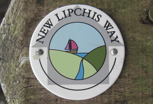
West Sussex's Lipchis Way long distance path
The interesting thing about the Lipchis Way is the variety of scenery it offers, cutting a north south section through the Weald and the Downs.
As the soils change with underlying rocks crossed by the Way, so does the vegetation, agriculture and the wildlife too.
As a result, a walk along the full length of the Lipchis Way provides wonderful heathland, downland, chalk healthland and harbourside environments in succession.
The route of the LIPCHIS Way
From its start at Liphook, the Lipchis Way crosses Stanley Common, running close to Elmers Marsh before sweeping on towards Woobeding Common.From here it picks up one of the tributaries of the River Rother before joining the main Rother itself near east of Iping. The river in this part of its course is delightful and the Lipchis Way stays fairly close to river bank for much of the way until Woolbeding, where it heads straight for Midhurst.
After Midhurst the scenery starts to change as the steep scarp slope of the South Downs looms into view above Heyshott. Although the climb up Heyshott Down is a steep one, the northerly views you get as a reward for your efforts are fantastic once you get near the top.
After crossing the South Downs Way National Trail , the Lipchis Way descends gently through Charlton Forest to Levin Down and Singleton, before the steep climb up to St Roche's Hill (the Trundle), where the trail crosses another Sussex long distance footpath - the Monarch's Way.
At the top of the Downs here you can see the whole of the Sussex Coastal Plain, the Isle of Wight, Portsmouth and the English Channel.
The Lipchis Way sweeps down the western side of the Trundle towards West Dean, where it hooks up with Centurion Way (the old Chichester to Midhurst railway line, now converted into a cycle path). Centurion Way takes you through Lavant down into Chichester city centre. At the southern end of the city, the Canal Basin is the place where the Lipchis Way makes use of another 19th century industrial relic - the towpath of Chichester Canal.
Chichester Canal runs through to Chichester Harbour, which it joins at Birdham Marina. Near the marina entrance, walkers switch southwards, hugging the Harbour shoreline for most of the journey through to East Head, at the very mouth of the Harbour.
In all the New Lipchis Way is 60 kilometres from start to finish
You might also like
- The South Downs Way in Sussex - a step by step guide
- The Monarch's Way National Trail in West Sussex
- The Downs Link from Shoreham-by-Sea all the way to Guildford
- Some good places for walks in West Sussex
- Places to buy walking boots and other outdoor kit in Sussex
- From Chichester to the seaside along Salterns Way
- Riding the bridleways of Sussex
- Horse riding and equestrian sport in West Sussex
- More about Mountain Biking in West Sussex
- Arundel
- Bognor Regis
- Burgess Hill
- Chichester
- Crawley
- East Grinstead
- Haywards Heath
- Horsham
- Littlehampton
- Midhurst
- Petworth
- Shoreham-by-Sea
- Steyning
- Worthing


