The Downs Link footpath
At it's northern end, the Downs Link meets the North Downs Way at St Martha's Hill, which lies on the medieval Pilgrims Way path which took sinners from Winchester to Canterbury and back again.
Another historic route intersected by the Downs Link at Steyning is the Monarch's Way - an extremely long distance path which runs from Shoreham to Worcester.
In West Sussex quite a lot of the journey is along the disused railway lines which became redundant in the 1960s, specifically the Steyning Line to Christ's Hospital near Horsham and thence on through Cranleigh to Guildford.
This means, of course, that the gradients are relatively shallow which makes for easy cycling. The surface is a mixture of tarmac and firm gravel - there are few sections where the going is tricky.
One good way to enjoy the Down Link is to take the train to Horsham or Christ's Hospital stations, joining the route at Christs Hospital and cycling to Shoreham-by-Sea, where the railway can be used to whisk you and your bike to wherever you want to go. This takes about 2 hours or so if you cycle without stopping.
To the south, the Downs Link hooks in to the current rail network via a path from Shoreham up the Adur Valley to Steyning.
The Downs Link is 37 miles long and is open to walkers, cyclists and horse riders.
The Route of the Downs Link
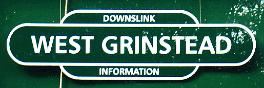
The places that the Downs Link passes through or close to in West Sussex are (from south to north):Botolphs, Bramber, Stretham Manor near Small Dole, Henfield, Partridge Green, West Grinstead, Copsale, Southwater, Christ's Hospital, Slinfold and Rudgwick before passing into Surrey.

- Arundel
- Bognor Regis
- Burgess Hill
- Chichester
- Crawley
- East Grinstead
- Haywards Heath
- Horsham
- Littlehampton
- Midhurst
- Petworth
- Shoreham-by-Sea
- Steyning
- Worthing


